[Also reposted at the walk blog.]
Yesterday's 18K walk down to Bundang was a happy one. I hadn't been down that way in a while, and there have been a lot of changes. Photo essay and captions below.
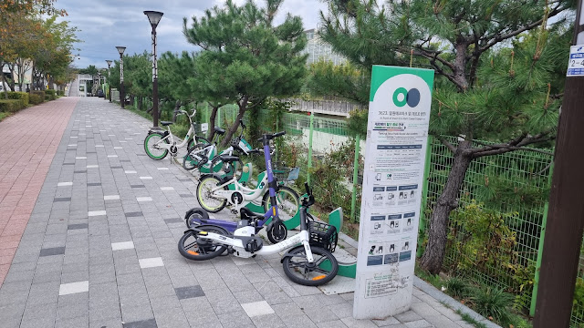 |
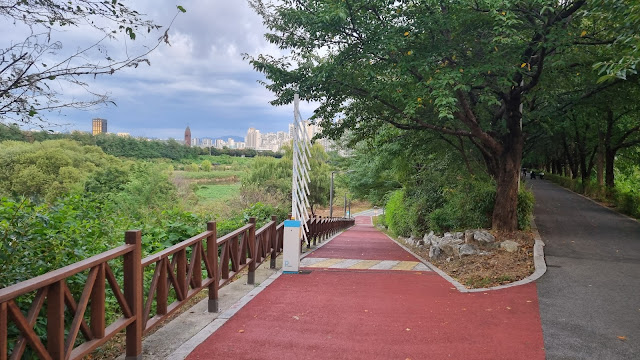
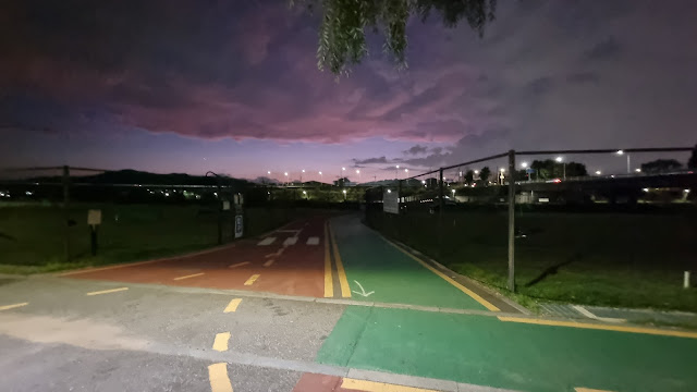
The walk from my neighborhood to the footbridge that leads to the berm bordering the Tan Creek. This is a drop-off site for those rent-a-bikes that are now so globally popular. The purple scooter doesn't belong. |
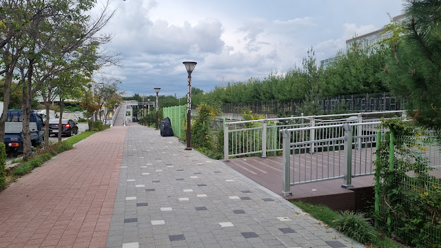 |
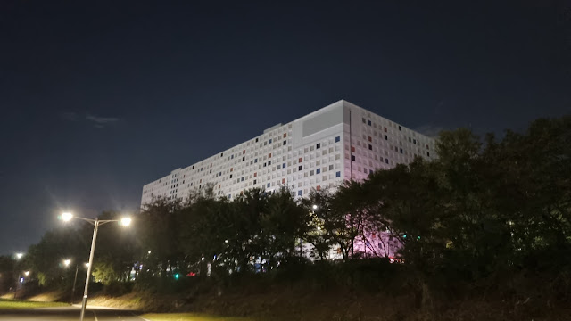
| Passing the park whose gate had been closed before my hospitalization. It was open when I got out. |
 |
| A glimpse into the park. It's a nice place. I like walking its perimeter path. |
 |
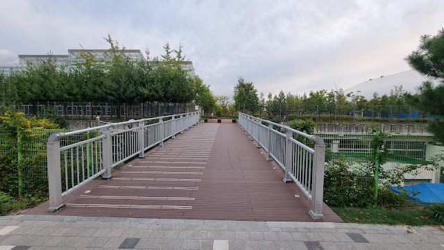
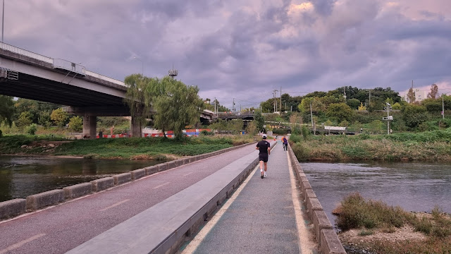
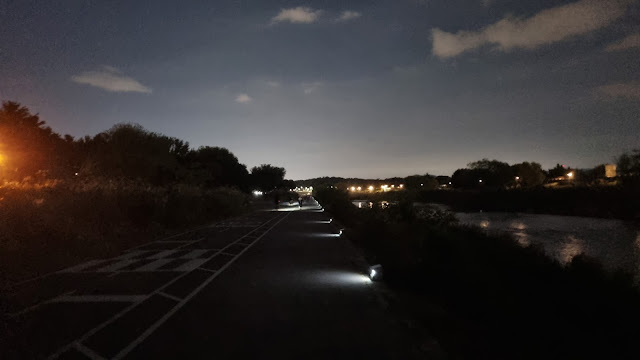
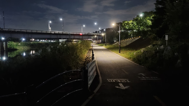
| Ramp to the footbridge, coming up. Watch out for bikers going up and down. |
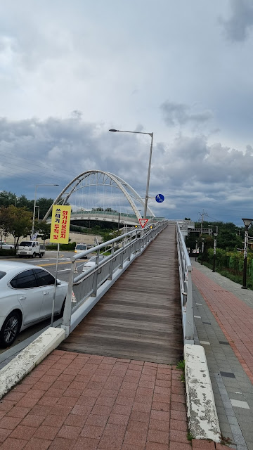 |
| Up I go. |
 |
| The Han River-ward path is to the left. Today, it's right to Seongnam City. |
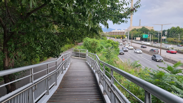 |
| one ramp... |
 |
| ...and another. This second ramp takes me down the other side of the berm to creek level. |
 |
| The flood barrier remains up. Nice. |
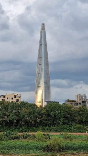 |
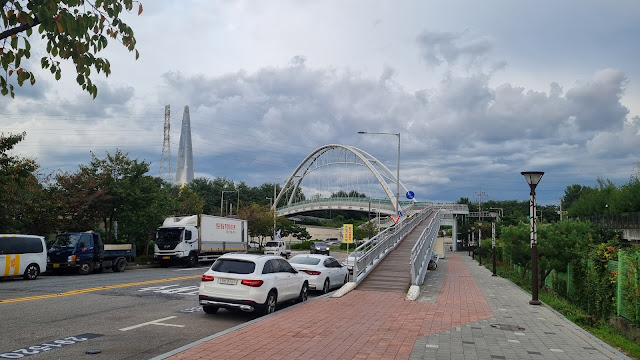
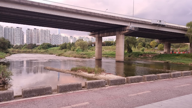
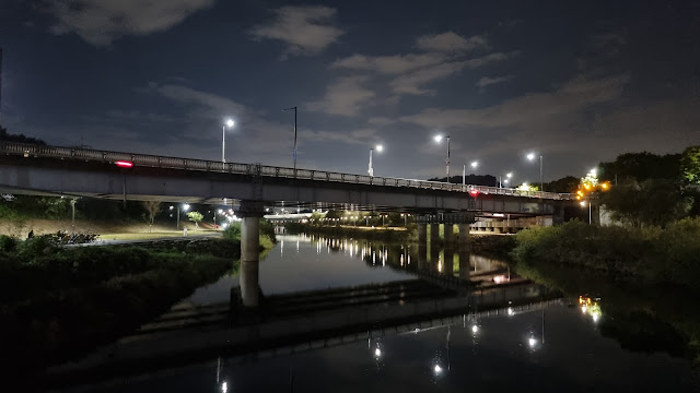
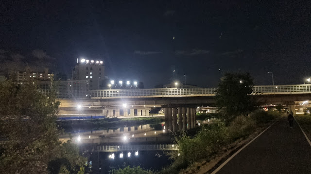
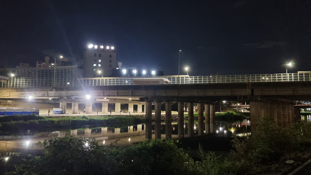
| Jamshil Lotte World Tower in the distance. |
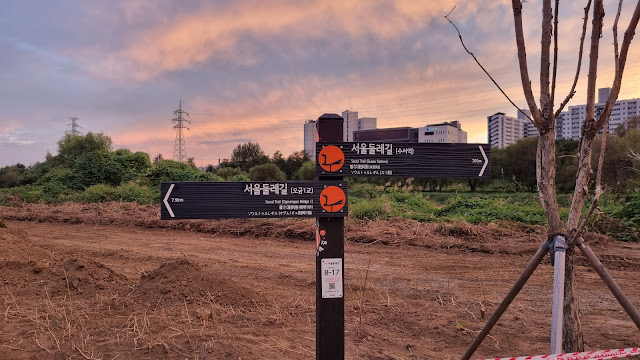
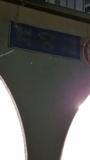
Below: when I saw these new signs last year, I had to wonder. The top line says Gukto Jongju, or end-to-end path across the country (think: Four Rivers, east coast, Nakdong River, etc.—the long paths), but this path is much shorter. Or is it? Am I missing something? If this really is a true gukto jongju, how far does it actually go?
First line: End-to-end national path
Second line: Tan Creek Bike Path
Third line: Seongnam City
Fourth line: 4.0 km
 |
| one of several towering power towers |
Lots of walkers out: fair-weather pussies who never show their faces in rain or cold. Watch them strutting along so industriously. How many of them, walking or running, go more than 10K? I'm sure a lot of the bikers go much longer. What's their maximum distance?
 |
| When it rains, water drains from the berm side into the poor, overloaded creek. |
 |
| There's a left turn up ahead where we all have to cross the creek and then choose which way to go. |
 |
Crossing the creek. The fencing in the middle has been replaced by a cover to keep drunk people (or little kids?) from falling between the bike and pedestrian paths and drowning. Or so I like to think. |
 |
| looking Hanward |
 |
| looking Seongnamward (I don't think that's actually Seongnam) |
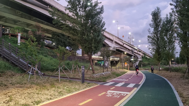
After you cross the bridge, you have the option of turning left, which will eventually take you out to the Han River, or you can go right, which will take you south down the Tan-cheon to Seongnam City and the Bundang region. I'm going right. The Tan is somewhere between a creek and a canal; the watercourse has been (and is being) heavily landscaped. On a map, it looks unnaturally straight, giving it the appearance of a canal.
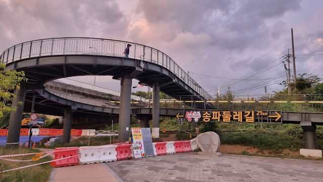 |
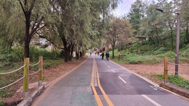
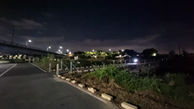
| This part of the path is also part of the 21K Songpa Loop Trail. I've done part of the loop. It sucked. |
 |
| signs pointing to spots and directions on the loop trail, which briefly coincides with my trail |
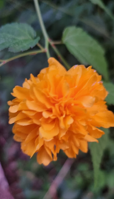 |
| slightly blurred flower (sorry) |
 |
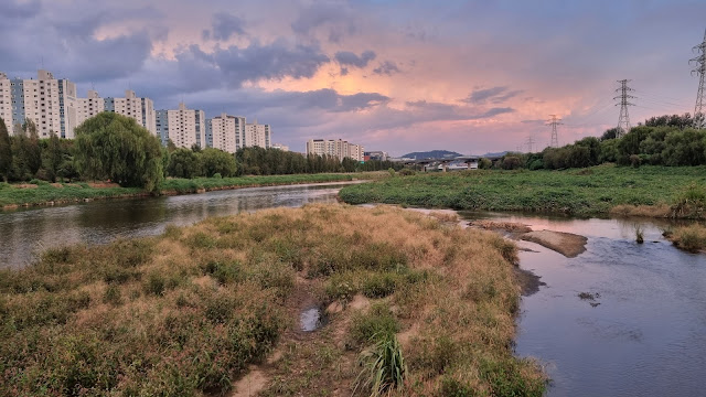
| the sunsetting sky and the numerous people |
 |
| Prince would've loved how purple this is. |
 |
| all the whooshing curves |
 |
| Up the stairs is a restroom I rarely use. The loop trail breaks right and follows this little tributary creek. |
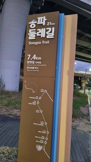 |
| This sign assumes a slow walking (strolling) speed of 3.7 kph. This section of the loop is 7.4 km. |
 |
| This sign reminded me that the tributary creek's name is Jangji. The creek is small, and traffic is loud. Sucky. |
 |
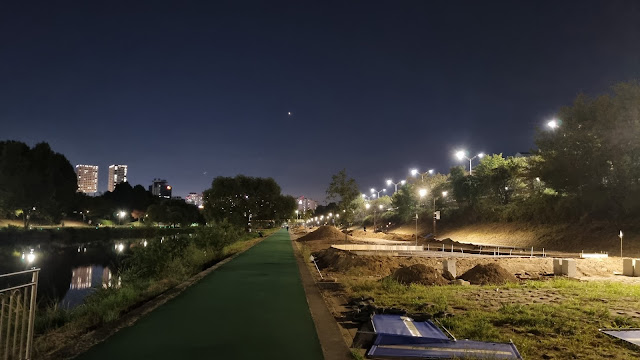
| That tiny, bright point in the sky is Venus. It's not just a morning star. |
 |
| a spanking-new park-golf course |
Okay, the above is totally new to me, and this really drove home the fact that it's been a while since I've been down this way. (I need to check the blog for my last walk down this path. Not this year, I'm pretty sure.) But this is new, startling, and disappointing: the terrain has been developed into a park-golf course. Motherfucker. Park golf has finally reached my shores. If you've followed my blog, you know how much I hate park golf (sort of an old person's perverse combination of putt-putt and regular golf, with big, swollen balls reminiscent of old men with gonadal inflammation), and how much I think old people ought to find better things to do. The course is, as you see, empty. In my experience walking across the country, the old folks come out in the very, very early morning—around 5 a.m. Which means they can't fucking sleep. As with regular golf, park golf allows people to stand around in groups just talking. I guess it's like a secular form of a church's post-service coffee hour: a place for hanging and socializing. As the country collectively ages, more and more park-golf courses will appear, eating up the real estate.
As I passed this new course, I sneered because I initially thought it was tiny compared to other courses I've seen. But I was wrong: this course runs for quite a while and took a long time for me to pass. It turned out to be rather impressive in size.
 |
| At about this point, I thought the course was tiny. |
 |
| The sign warns against unauthorized use of the course. |
 |
| This is a turn-off that leads to a path along the other side of the Tan Creek. It's walled off by park-golf terrain now. |
 |
| the imposing curve across the sky |
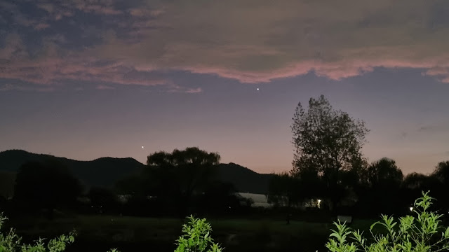 |
| Venus, like a dick, hangs low and to the left. That brighter spot higher and to the right is a plane. |
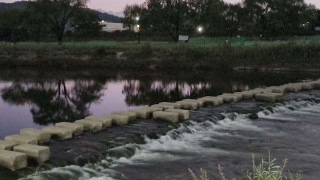 |
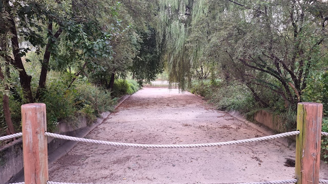
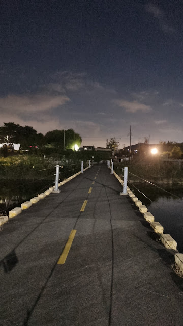
| The jinggeom-dari/징검다리 (stepping-stone footbridge) I crossed not long after my stroke in 2021. |
 |
| a wider shot |
 |
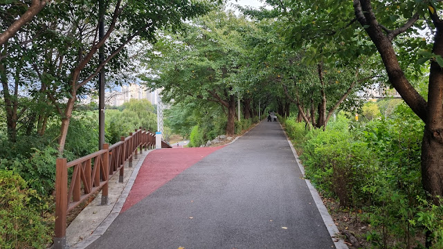
| one of many straightaways on this flat walk |
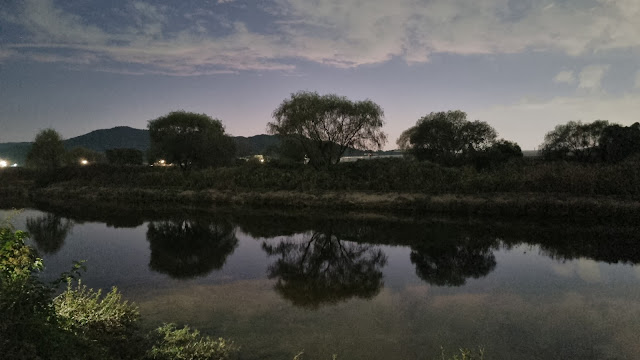 |
| lovely trees and their reflections |
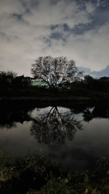 |
| This was evocative. |
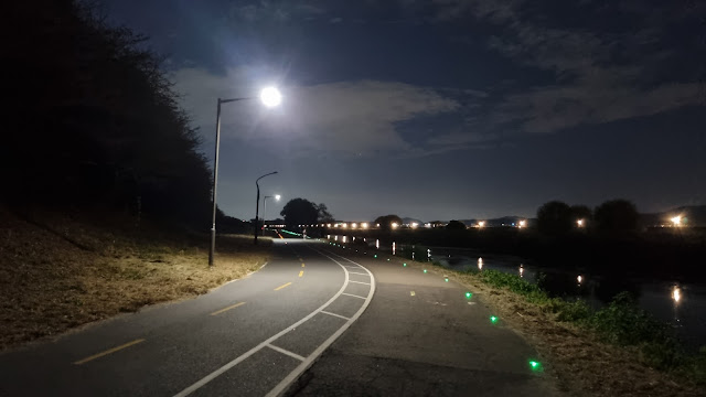 |
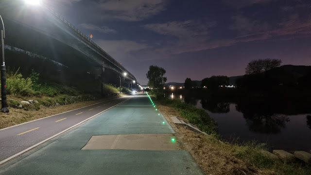
| It's like the Dead Marshes: follow the green lights to your doom. |
 |
| across the creek: the regularly spaced white lights of the military base |
 |
| No more green lights... for now. Just the solar-powered white lights. |
Eventually, you reach the end of the base (Korean Air Force base, I think), which means...
 |
| This is where I turned right to keep following the creek along the other side. |
 |
| Across we go. |
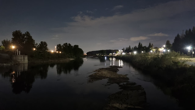 |
| a glance back and north |
 |
| a glance forward and south (Seongnam City is south of Seoul) |
 |
| almost on the other side's path |
For those of you who remember previous blog posts about this route, you'll realize I'd had to walk past several kilometers' worth of military base. The base is visible, tantalizingly, as a long wall with periodic emplacements or towers or whatever the proper term is, as well as bright lights at regular intervals. The base is long enough to have a runway and heliports. It can accommodate smaller aircraft. On your phone, if you look at a map, you'll see only a blank space where the base ought to show up. I think blanking out the base is a silly idea: the mapmakers should instead show the base as something fake, like an amusement park or whatever. As things stand, it's easy for North Korean experts to find all the blank spaces on South Korean electronic maps and guess that these are all bases of some sort or other.
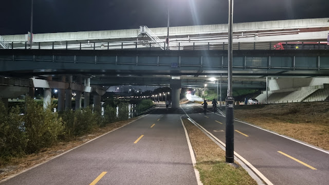
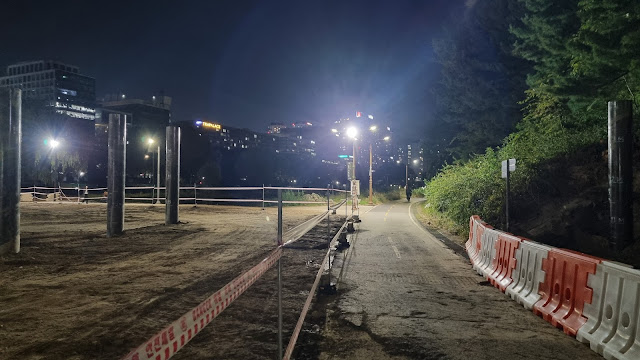
The above pic, and some of the following pics, all show something new and welcome: the parallel bike path has finally been finished on the west side of the Tan Creek (left side on a map as we head south), so we walkers now have our very own pedestrian path where we can walk in peace without worrying about being hit by bikers. This defect was long a problem on this side of the creek (the east side has had separate paths since forever), but now, there's no more problem... except where construction forces bikers and walkers to use the same route.
 |
| See how cleanly separate the paths are? Nice. And the pedestrian path seems to be wider here. |
 |
| Either I never noticed this building, or it's totally new to me. |
 |
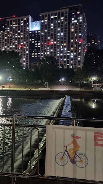
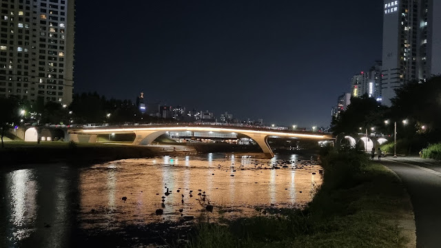
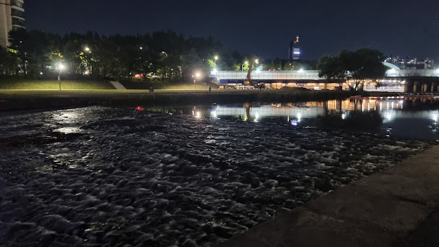
| Tan Creek Bridge and Manna Church in the distance |
 |
| My camera sucks at nighttime photos of bright objects. Can you see "만나교회" (Manna Church) through the glow? |
 |
| dawg park, empty at this time of day and at this temperature (it's getting cooler) |
 |
| mysterious landscaping/construction along the creek |
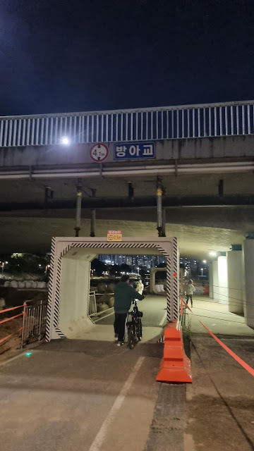 |
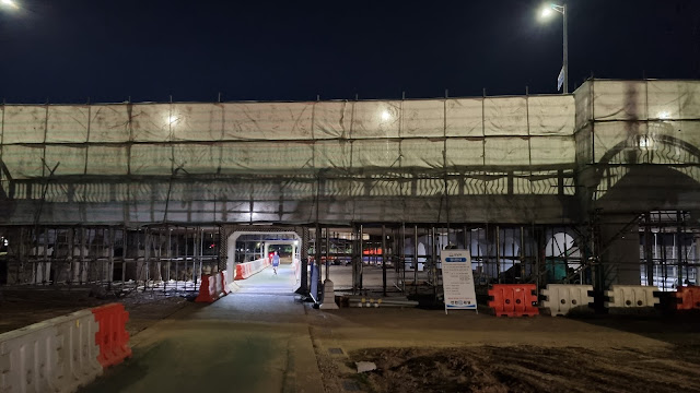
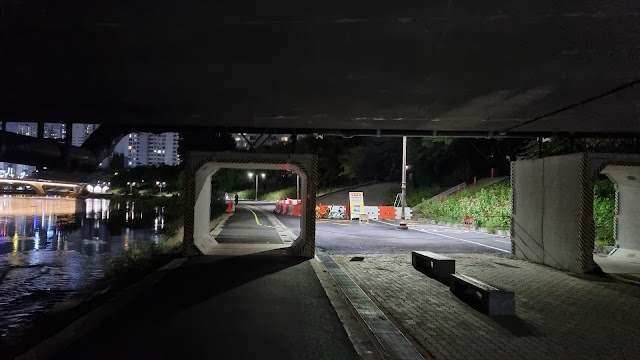
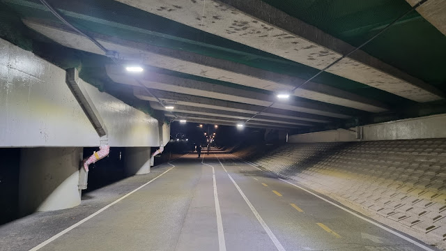
| the Bang-a Bridge, with weird, tunnel-like structures that are new to me |
 |
| I'm continuing along the path to the left, but the path swinging right goes along a tributary creek. |
 |
| facing the turnoff more directly, but not going that way |
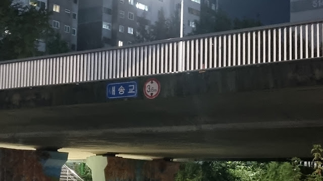 |
| It's hard to see, but the bridge crossing the creek is called Maesong (매송교). I need to walk that creek someday. |
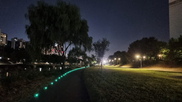 |
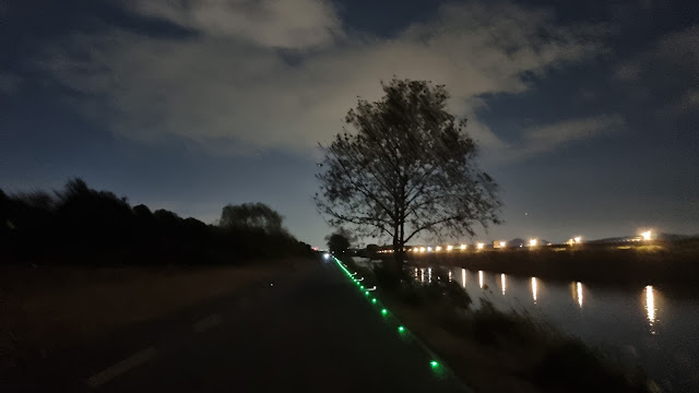
| Keep following the green lights. |
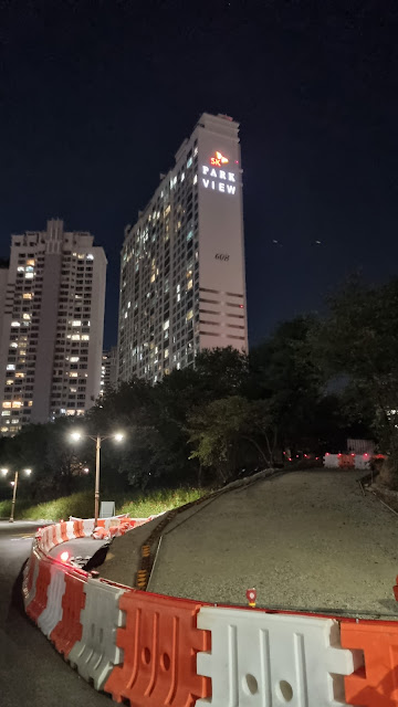
It's nearly impossible to see in the above picture, but way in the distance, a little to the right of where the path is pointing, is a tiny orange-red glow. It's a sign on the side of an apartment building or complex called Park View (in English). The moment I see that sign in the distance (the phone camera makes it look farther away than it is), I know I have about 3.5 km left on this path. I check Naver, and it's actually 3.4 km, but hey, close enough. In successive photos, "Park View" will appear more and more clearly.
 |
| Are you seeing "Park View" yet? |
 |
| The blue sign on the building says "Poongnim" (poong + lim/rim), or "Windy Forest." |
 |
Information for bikes and kickboards (scooters) on the Tan Creek: for safety, go slowly (20 kph limit); please use your headlights at night. |
 |
| I believe that's an airplane, not Venus, nor is it Jupiter, which is usually in the eastern night sky. We're facing south. |
 |
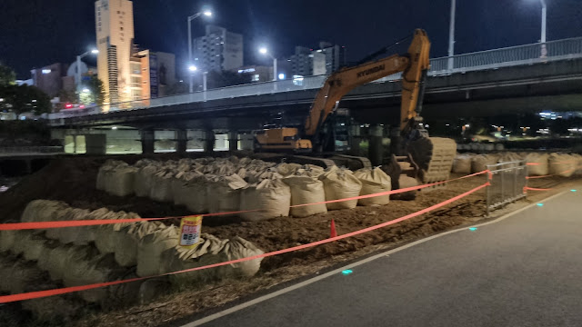
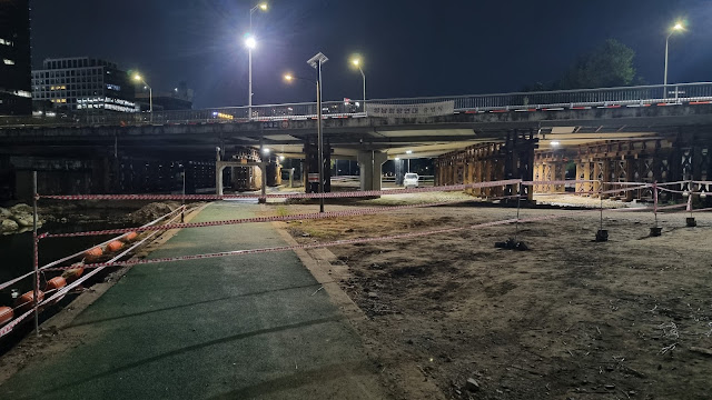
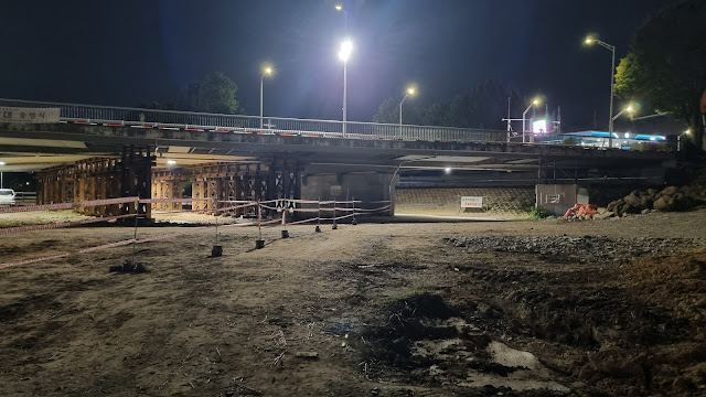
| This construction is all new and foreign to me. Construction never ends. |
 |
| a lot of bare ground, waiting to be developed |
 |
| new columns holding up bridges |
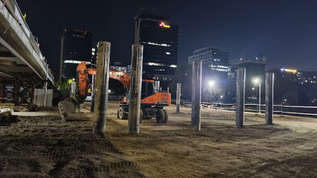 |
| It looks as if the excavator is walling itself in. We're about to turn left (construction detour). |
 |
| Here comes the left turn. |
 |
| I'm trying to make the turn obvious. |
 |
| These areas are starting to look overgrown. I imagine they're next on the landscaping agenda. |
 |
| straightaway |
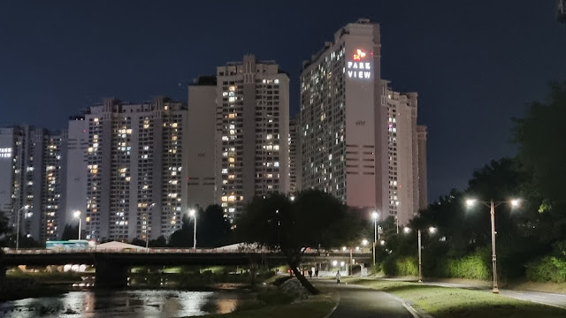 |
| The "Park View" sign is clear now, ja? |
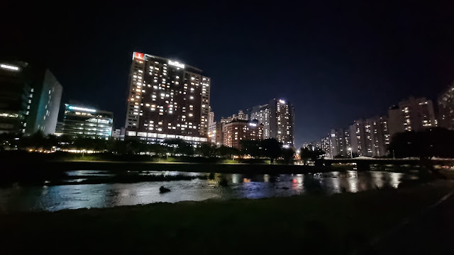 |
| downtown Seongnam, Bundang area |
 |
| It feels almost as if they're planning on turning these into full tunnels. That can't be right, though. |
 |
| About here, with "Park View" nice and clear, I swing left for the final several hundred meters. |
 |
| Coming up: my favorite little bridge: the Baekgung-gyo, or White Castle Bridge. Makes me think of burgers. |
 |
| Zinnia/Zenia, part of a whole community of them |
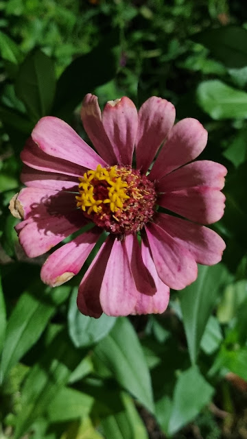 |
| They all look a little rough, coming out of Korean summer. |
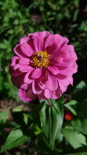 |
| This one's not so bad. |
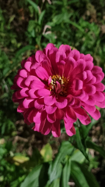 |
| Petal much? |
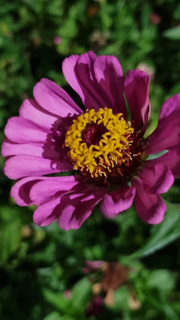 |
| more about the center than the surrounding petals |
 |
| a whole wall of zinnias |
 |
| The barely visible sign for White Castle bridge, the Baekgung-gyo/백궁교. |
 |
| I remember when the landscapers were roughening the creek bottom here to improve aeration. |
 |
| under another bridge and close to the end |
 |
| final straightaway |
 |
| the last staircase and the only real climb after 18K of walking |
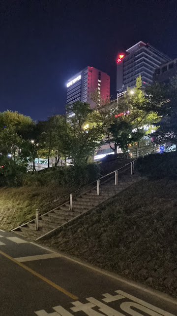 |
| I apparently liked this staircase enough to keep photographing it. |
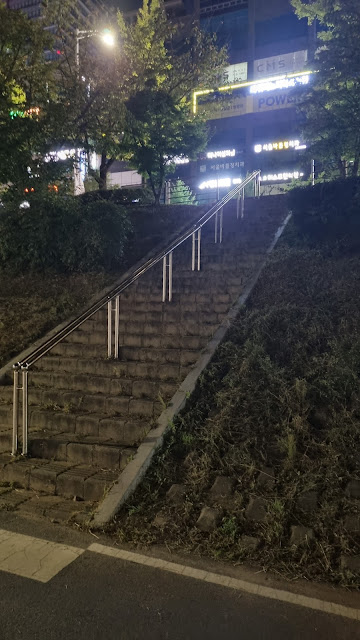 |
| Enough already, Kevin. |
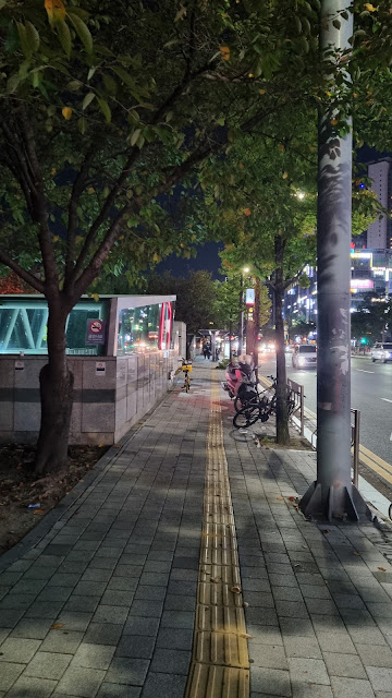 |
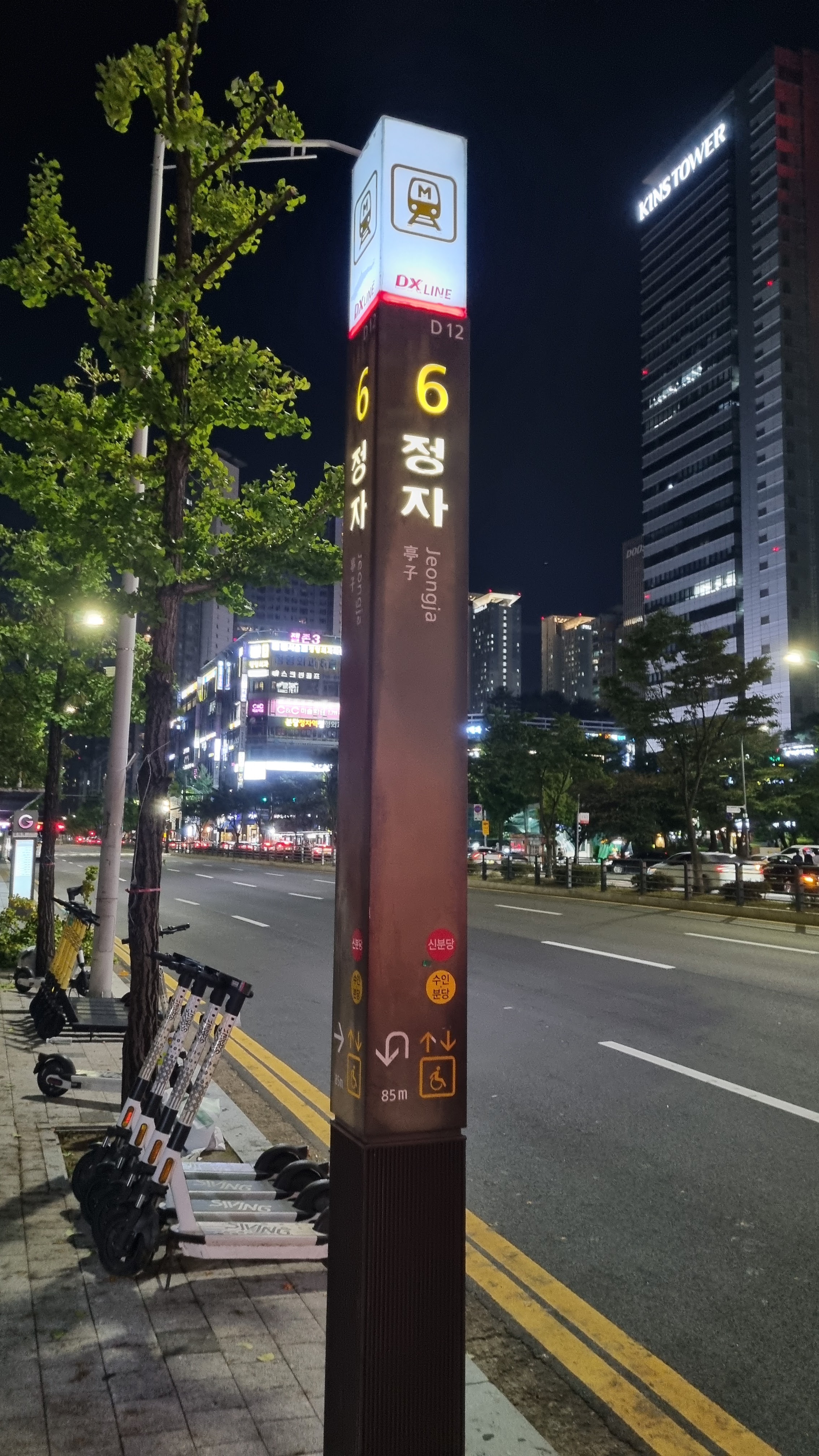
| up on street level and next to Jeongja Station |
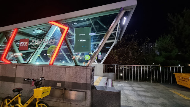
The syllables jeongja/정자 can come from different pairs of Chinese characters. The first jeongja I ever learned was the word for semen. So when I saw "Jeongja Station," I immediately thought "Semen Station," but this is obviously a totally different jeongja from two different Chinese characters. As it turns out, there's a jeongja that means something like a shelter or pavilion in a scenic and peaceful place, no walls, often with a nice view. So a bit like an amped-up, well-placed shwimteo, then.
 |
| I'm at Exit 6. |
 |
| looking toward the exit |
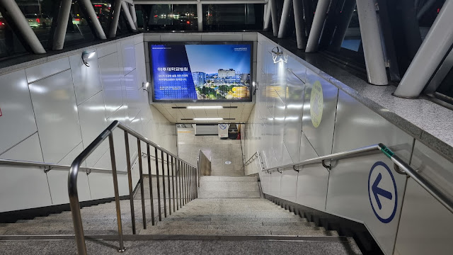 |
| going down |
My feet hurt, but not too badly. I've since taken ibuprofen and Leukotaped my dogs in preparation for this weekend's two long, over-30K walks. I think I'll be fine—slower but fine. I just have to start earlier when I'm on the trail, is all. And I can take a little pain.
 |
| serial-killer face, my version of resting-bitch face |
Expect more photos after this weekend.


So THAT's what infrastructure looks like! Damn, I really miss those pathways in Korea.
ReplyDeleteLooks to have been a nice walk and some great pics. Keep it up!
That path goes all the way to Yongin. I actually cycled it on Thursday myself, when I went down to Cheonan. My route claimed to be 95% bike path, but past Yongin, apart from 10k or so around Osan, it was pseudo-bike path where they've just painted the pavement red. You ask how far cyclists can go in a day. Well, there are crazy people that cycle all the way to Busan in a day, but the sweet spot for most serious cyclists seems to be about 80-150km. My longest ride this year was 240km, which was to Chuncheon and back.
ReplyDeleteI think those concrete square mini-tunnels are there because some time last year one of those bridges collapsed and killed a few people. They found quite a few of the other bridges need reinforcing, and I assume they put those concrete things underneath, so that if a bridge were to collapse, anyone who was unfortunate to be crossing underneath would be protected.